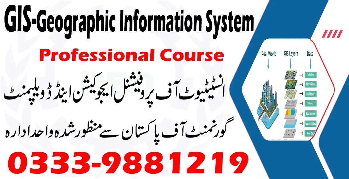
INTRODUCTION:
Enrolling in the Geographic Information System (GIS) course will provide you with the expertise needed to manage geospatial data, maps, and GIS software. These abilities are particularly relevant in numerous disciplines, including geography, environmental science, urban planning, forestry, agriculture, and transportation. The curriculum typically covers cartography and map development, enabling you to produce maps that are not only aesthetically pleasing but also functional, an essential aspect of data visualization.
In the GIS Geographic Information System course, you will learn to analyze geographical data and tackle real-world issues effectively. This analytical skill set is relevant in multiple industries and research fields. The versatility of GIS allows you to implement your knowledge in sectors that align with your interests, including conservation, public health, urban planning, and many others.
IPED COLLEGE (GIS Geographic Information System Course in Rawalpindi 0333-9881219) IPED College offers courses and programs in a wide range of vocational areas, such as building trades, engineering, computer science, information technology, healthcare, and culinary arts. The instructors at IPED Institute are seasoned experts with extensive subject-matter knowledge who may provide enlightening commentary and beneficial advice. The program of IPED College combines theoretical knowledge with practical application. Students can obtain real-world experience in addition to classroom teaching by participating in cooperative education programs, internships, and laboratory work. At IPED College, students can acquire skills and knowledge in certain fields that are instantly applicable in the industry.


